Thursday, July 20, 2006

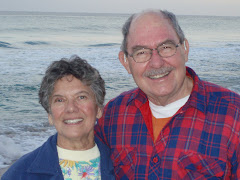
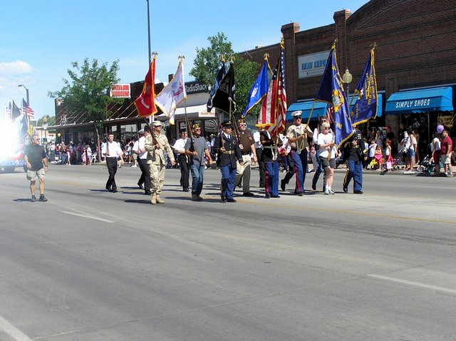
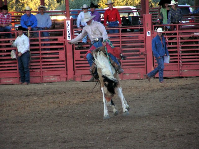
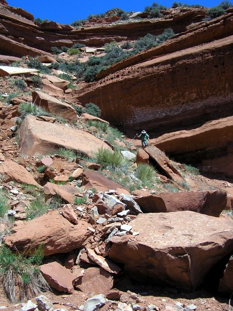
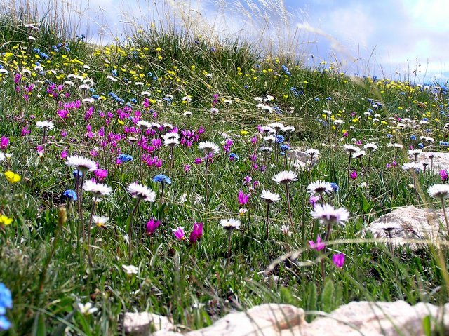
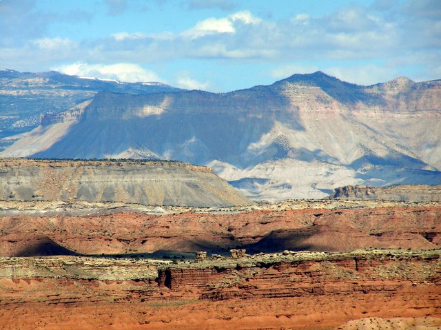
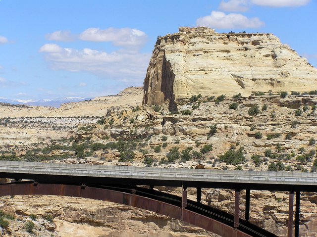
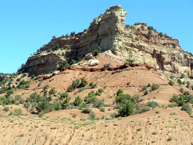
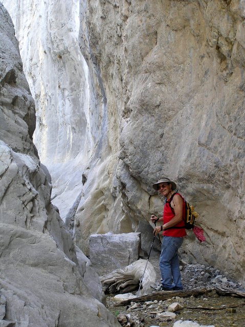
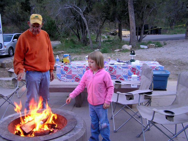
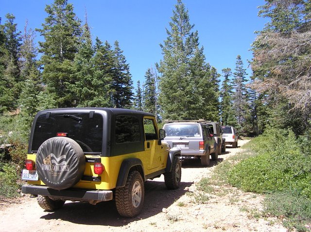
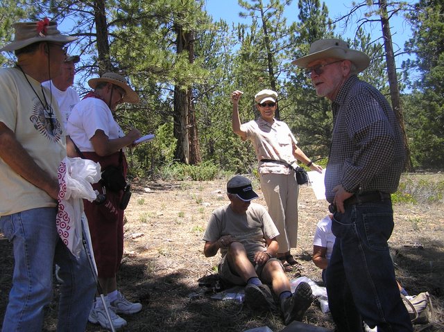
1. Four Wheeling with the Escapees

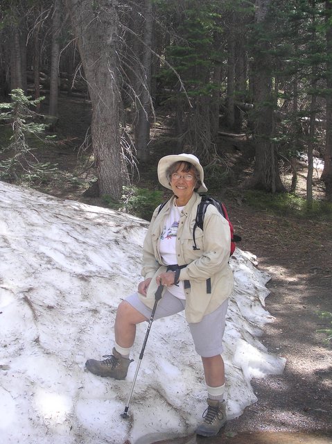
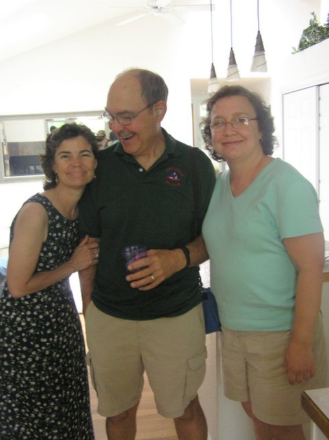
2. Geocaching with our Escapee Freinds

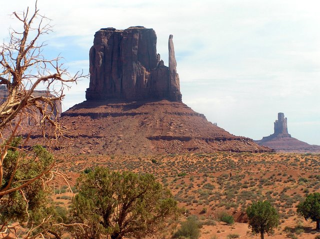
3. Mounument Valley

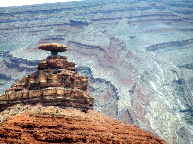
4. The Mexican Hat at Mexican Hat, Utah


Posted by Picasa

Tuesday, July 11, 2006

July 10, 2006 - South Pass and the Oregon, Mormon and California Trails

Last week we moved on from Lander, Wyoming on down to Fort Bridger, Wyoming and eventually to Hatch, Utah. This trip took us up over South Pass, the point where many pioneers passed over the continental divide.

South Pass, although at respectable elevation, (7550 feet), is actually a fairly flat, high plateau -- treeless, and wind swept. Pioneer travelers had to leave the Sweetwater River and make what hopefully would be quick trip to the Big Sandy River. Many of the pioneers opted to take a short-cut, the Sublette Cutoff, a shortcut taken to reduce to time to get to Oregon, but chancy -- requiring 50 miles without water -- meaning it was necessary to carry sufficient water for oneself, and livestock, and to not getting lost. Death or at least loss of all possessions could and did happen. The short cut was taken to save time. The pioneers were anxious to cross the mountains to Oregon before winter set in.

Other hardships occurred on the Mormon Trail. Many of the Mormon pioneers, -- some of them immigrants from Europe, would pack all their possessions in two wheeled carts and pull these carts all the way to Salt Lake City. On several occasions pioneer Mormons got trapped in bad weather, and were rescued by earlier settlers form Salt Lake City.

Enormous numbers of Americans emigrated west in the 1800’s on the Oregon, Mormon and California trail. In fact the Western states were all settled by immigrants, many of them traveling under extremely dangerous circumstances. Many died. At South Pass and Fort Bridger, places now nearly deserted, were once the site of many people passing to new homes.

We need to remember we are a nation of immigrants, who have largely displaced the Native Americans, the original inhabitants. This should give us pause when we see today, when we see people who in very dangerous circumstance come to our country seeking an opportunity for a better life, much as were those who passing through South Pass and Fort Bridger, less than a hundred years ago.

Thursday, July 06, 2006

July 6, 2006; Lander, WY

We have spent the last week, which included the Forth of July holiday, at Lander, Wyoming. Lander is a small town of about 6,000 people, located on the east side of the Wind River Mountains. It is about 60 miles west of Jeffery City - where I am told “Home on the Range” was written, about 40 miles northeast of South Pass - the historic pass where the Oregon Trail, Mormon Trail and California Trail crossed the continental divide, and 20 mile southwest of the Wind River Indian Reservation - home of the Shoshone and Arapaho Indian tribes.

Lander is a delightful small town. Wal-Mart and Home Depot have not arrived, so the town boasts several hardware and auto-part stores, two grocery stores, numerous small clothing stores, and a wonderful bookstore with a wonderful selection of soft covered books such as “Hours”, and “A Short History of Tractors in the Ukrainian”. (I just finished the latter novel, enjoyed and recommend it!). A newspaper is published in Lander, every Wednesday and Sunday. One can get the New York Times, sometimes. It comes in on the afternoon airplane, usually – but not always. If the Sunday edition does make it in on Sunday, you can probably get it on Monday and for sure on Tuesday. Lander is a very nice Western town that reminds me a lot of the way towns used to be decades ago. The pace is relaxed, and people are very friendly.

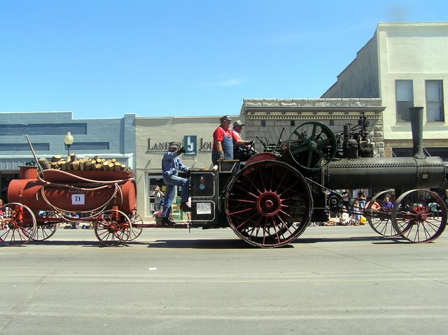
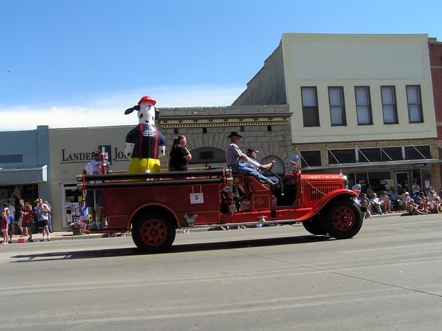
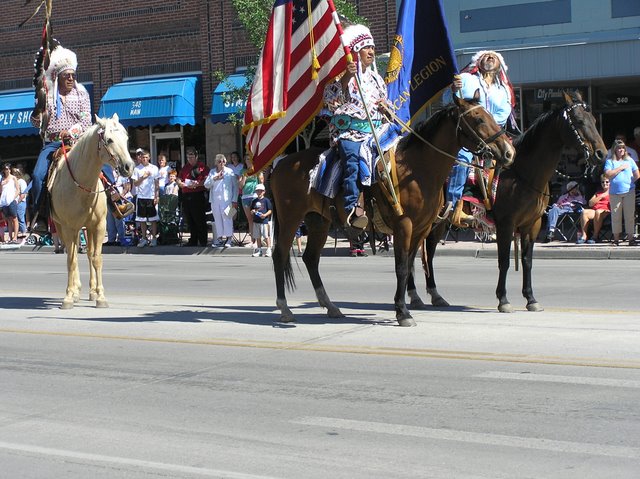
The Forth of July celebration was noteworthy. The mainstay of the celebration was a three-day rodeo with bull and bronco riding only on Sunday night. On the forth there was a parade. It had many of the things we often used to see in parades. The Legion marched and the high school band marched by There were Indians (real Indians) all dressed up in feathers, carrying a coup stick (I think) and of course an American flag. Then, as you would expect in the West --- Lots of people on horses – old people, young people, dressed-up people, authentic cowboys all dressed up with western hats and chaps, and three generations of one family, proudly riding bareback. An array of political candidates running for sheriff, state senator, councilman, etc drove by in trucks or convertibles. Finally there was an array of different types of vehicles, including Model A’s, old fire trucks, Cadillacs and Chevys from the fifties, and one iron-wheeled steam tractor using wood for fuel..

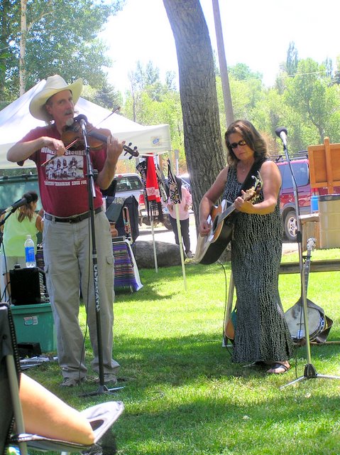
After the parade, we went to the city Park and enjoyed a barbeque of buffalo brats, beans and potato salad. There were a couple of musicians playing and singing folk and country songs. One of the musicians played a mean country fiddle, which reminded me of the terrific fiddlers we used to hear at square dances in New Hampshire when I was a teen.

That evening the end of the holiday was celebrated with fire works set off at the rodeo. We got a wonderful view of the fireworks from our RV. (The rodeo park was just over the hill.)

American Legion on Prade, July 4 in Lander

  Posted by Picasa

Forth of July in Lander, WY


Fiddling at the Park

Bio-fuel -- run by wood!
Old Fire Truck
Posted by Picasa
Very proud narive Americans, with flags and coup stick (I think it is)

Saturday, July 01, 2006

On and About the Bighorn Mountains

We left Colorado in route to Wyoming and the Bighorn Mountains. Our first stop was at Kaycee, Wyoming. After passing the Hole in Wall Bar, Butch Cassidy Motel, etc., we asked if the Hole in Wall, site of the one-time headquarters of Butch Cassidy and the Sundance Kid was actually nearby. The answer was, yes, it was a place easy to get to.

I have been trying any number of years to visit the Hole in the Wall, to see where Butch Cassidy and his pals hung out. The first time I attempted it was years ago, but what with obvious four-wheel drive roads, and my Oldsmobile compact car, it was obvious that I was driving into an untenable situation.

This year, we now had four-wheel drive, high clearance, and lots of time, it seemed an opportunity to try again. It turns out, it is not an easy task to visit the Hole-in-the-Wall. Although everyone in the Kaycee area is very proud that this is Butch Cassidy country, and nearly every other motel, bar, or restaurant is either has Hole-in-the-Wall or Butch Cassidy in the name, actually few people can give you accurate directions how to get
there.

The first day we set out, with what we thought were clear directions. After driving about 30 miles on dirt road, we took a right on a road to "Hole in-the Wall' Campground. Well, after driving several miles on dirt roads, we found no campground and no Hole-in the-Wall. We finally drove by a rancher's wife getting mail from her mailbox. After inquiring we found that we were on the way to the Dull Knife Battlefield, but Hole-in the Wall was the other direction.

We reversed our way, and followed new directions. Our road passed through private property, with lots of warning sides to stay on the road. . The road deteriorated to a track, demanding four-wheel drive. We drove up the side of a mountain, avoiding deep ruts and high stones in the road. We eventually found a sign to the "Outlaw Cave". We got out and walked about, and finally peered down to the bottom of a canyon, where we could see a steep trail leading to a series of shallow caves. The Outlaw Cave - probably; ---- Butch Cassidy's Hole-in-the-Wall -certainly not. We drove about a bit, saw some
badly vandalized Indian pictographs in a shallow overhang, and started to return home. As we went down the mountain, we looked across the valley, where there was a long red cliff, extending some miles, both north and south. Thus we concluded was the Red Wall, where the Hole-in-the-Wall might be found. However, there was no public road or any other obvious to get to the Red Wall to search for Hole-in-the-Wall. By this time it became obvious that the location of the site in the atlas was in error.

Back to camp, we returned for further inquiries to get new directions. The new directions were that Hole in the Wall, could only be reached by an entirely different series of roads, which would entail a 40 to 50-mile trip (one-way), most of it on dirt road, with about 15 miles requiring a high clearance vehicle, 4-wheel drive, and not under any conditions to be attempted after a rain (would get stuck in the mud). Furthermore, we were told, once we reached our destination by car, a 3-mile one-way hike would be required to get us to the
Hole-in-the-Wall. Being adventurous, Madeline and I decided to attempt the trip.

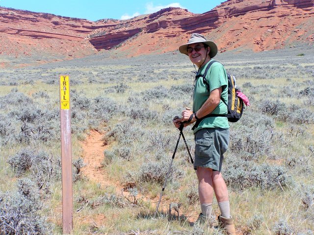
Sure enough, there was a long trip over prairie, hills, grassland, rocks, ledges and desert. Finally we reached the end of the road. There was a trail, which we assumed would lead us to our destination. We hiked up hills, over very dry grassland, and over some dirt roads. (Why we wondered, could we not drive down those roads?) Finally after about three miles, we approached a point where two red cliffs of the Red Wall joined in a bundle of rocks. At this point the trail petered out. This, as we discovered later was the Hole-in-the wall. At the time, Madeline was not convinced, so did not climb up on the rocks. I was positive this was the place, so I started climbing. However, my sense of balance has diminished to such a point, that I finally decided I had gone about as far as I safely could. There is an attached picture showing how far I got. However, the “trail” is much steeper than appears in the picture. We decided, we had probably done enough and began our journey home.

After we had gotten about a quarter of a mile away, the most astonishing thing happened. Buses and trucks went down the dirt road we had walked along, and drove to a parking lot and dislodged a huge group of people. Most of them just stood around, but perhaps 20 people then hiked to the Hole-in-the Wall, and climbed (rather nimbly, I am afraid) up the cliffs and rocks, I had attempted, to the top of the wall, and I suppose went on to see, what is said to be, a lush valley behind the Red Rock Wall. Later we concluded that
the dirt road was a private ranch road, which allows periodic guided tours in to view the Hole-in-the-Wall.

I suppose there must be other ways to get into the valley behind the Red Wall. From what I have read since our visit, I gather the location of the Hole-in-the -Wall, was fairly well know in Butch Cassidy's time and before. It was known as an outlaw hangout, and there were occasional gunfights and murders in the area. I can see how a horse trail could be carved out of the jumble of rocks, but I dont see how a horse could get up through it today, nor can I see how a herd of stolen cattle could be taken up through there.

Anyway, I have seen the Hole-in-the Wall, but did not quite make it through
the Hole to the other side.

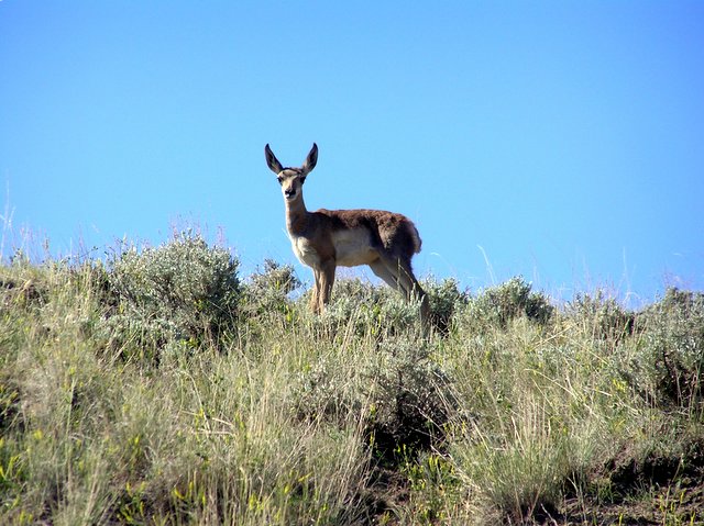
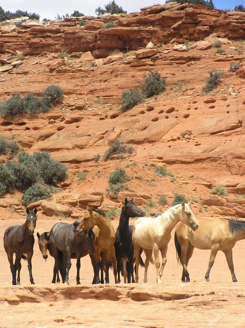
While on our road trips in the Kaycee area we saw many, many pronged horned antelope grazing along the side of the road. In fact while driving, one had to keep close watch to be sure they did not dart out in front of the car (or RV on the Interstate). We also saw quite a few horses on open range. On Friday night we went to a local rodeo in Kaycee. It seemed to be a rather local affair, and I think many of the cowboys and cowgirls were trying to get experience, as many of the calves and steers did not get roped at all. There were special event for kids, which involved tying a handkerchief on the tail of a goat (for the youngest or throwing and tying a goat (slightly older kids0. it was a lot of fun.

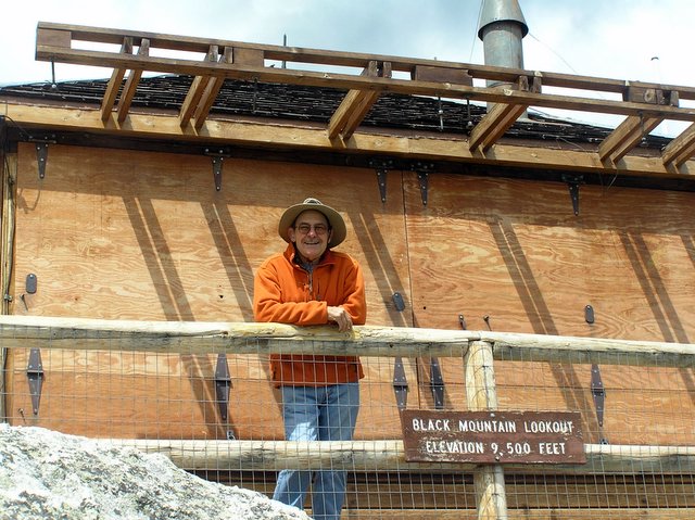
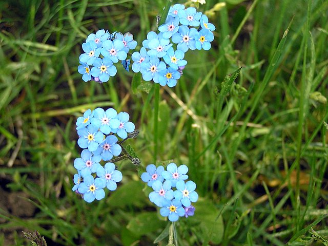
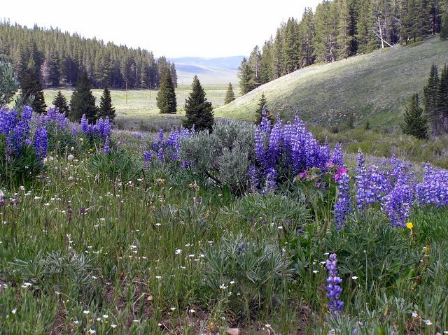
We have continued our trip to the Bighorn Mountains. We are now at about 8,000 feet, and it is quite chilly at night and in the early morning. We are doing some hiking --- perhaps the most interesting so fat up Black Mountain to a Fire Station that is no longer manned. The flowers are in bloom, with the floor of the forest and the fields pretty much covered with purple lupines, and lots of other flowers too. Madeline’s favorite is the intensely blue forget-me-nots.

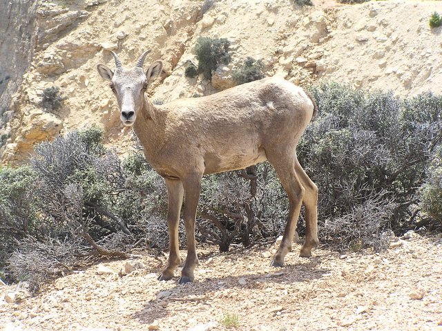
Yesterday, we drove down the west side of the mountain on a day trip to Bighorn Canyon. The canyon has largely filled with water, due to a dam on the north side of what now is a lake. The area about the canyon is quite dry and rocky. The high point of the trip was seeing big horn sheep. We saw mothers with their young. We understand the maless are all up in the mountains now. We were very excited to see the bighorns, as we have been trying to see them in the wild for several years!
Pictures

1. Rodeo at Kaycee, WY
2. Dan halfway up path to Hole-in-Wall. It is much steeper than it looks!
3. Dan, on the trail to Hole-in the Wall (in the background)
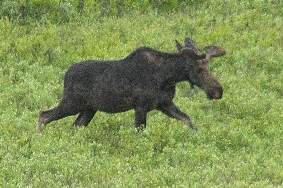
4. Madeline saw a moose!
5. And the antilope play
6. Horses, but probably not wild
7. Destination -- the summit
8. Forget-me-nots, Madeline's favorite flower
9. Lupins
10. A female big horn sheep
11. More flowers on top of the Big Horn Mountains

These are all pictures by Madeline. she does a terrific job.
 
 
  Posted by Picasa


  Posted by Picasa

On and About the Bighorn Mountains


  Posted by Picasa

Tuesday, June 13, 2006

Colorado Days

We have been in Colorado for nearly three weeks. We plan to pull out of here later this week and head towards Wyoming. Our plans are a little vague as to what we will be doing, but certainly we will go up the Bighorn Mountains to see the flowers. We may also go to Bighorn Canyon and veg out a bit. From Wyoming we will head to Hatch, Utah in July to a meeting with our Escapee freinds. There will be fourwheeling, hiking,and lots of fellowshp.

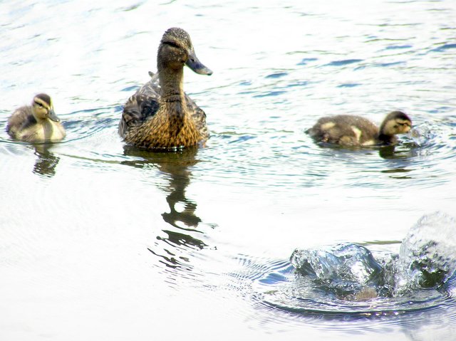
See he Colorado pictures. We went up to Bear Lake, in Rockey Mountain National Park last Sunday. There was still snow above 9,500 feet, as you can see. The trout were spawning in the creeks, and the ducks have hatched their young. Meanwhile, I visited daughters and granddaughters, who came to celebrate Katy's graduation.

Bear Lake in June; Dan and his Daughters


  Posted by Picasa

Friday, June 02, 2006

San Rafael Swell from I-70


  Posted by Picasa

Front Range, Colorado

We arrived east of the Rocky Mountains a week ago last Thursday. The ride from Las Vegas to Boulder, Colorado is beautiful. First you go through the desert up to the corner of Nevada, Arizona and Utah. The Virgin River runs through the corner of the three states and forms a very colorful and beautiful canyon. After driving through the canyon, a chain of mountains is crossed. We stayed the first night at Salina, Utah. Silina is the last town, in fact has the last house until Green River is reached, a stretch of over 100 miles. This trip crosses over the San Rafael Swell. This is an uplift of several thousand feet, characterized by spectacular cliffs, mesas and badlands.(Some day, perhaps next year, we plan to take several weeks to explore the swell. There are canyons, reachable only by 4-wheel drive, well known for their petroglyphs. There is also a museum of dinosaur bones, said to be one of the best in the country. There are numerous hikes and other sights to see, I have been told. From Green River, you travel over relatively flat country, following a line of cliffs on the north, until you come to Grand Junction. Here you start what at first is a gradually climb over the Rockies, following the Colorado River. We stayed the next night in Glenwood Springs. Then the climb becomes steeper and two passes, Vail Pass and Loveland pass have to be negotiated. Fortunately, Eisenhower Tunnel makes the entire climb over Loveland pass unnecessary. Then it is down the mountain to Golden, Colorado (home of Coors Beer), about 25 miles west of Denver. All in all it is a beautiful trip, which could easily be made in a car in two days.

We have had few adventures since we arrived. We attended Katie's and Claire's award ceremonies last evening -- a sort of pre-graduation event. Tomorrow is graduation day. Meanwhile,, daughter DD and grand daughter lil' Diana arrived today to enjoy the festivities, so there are some exciting family affairs this weekend.

Saturday, May 20, 2006

In the Spring Mountains

This week we moved from Red RockCanyon, near LasVegas to one of the National Forest campgrounds about 25 miles north of LasVegas. We are at 7,000 to 7,500 feet in altitude, so we have gone from 95-100 degree weather to quite a pleasent climate, with very cool nights. We are on the lower slopes, I beleive of Mount Charleston. At any rate there are some snow-covered peaks near us.

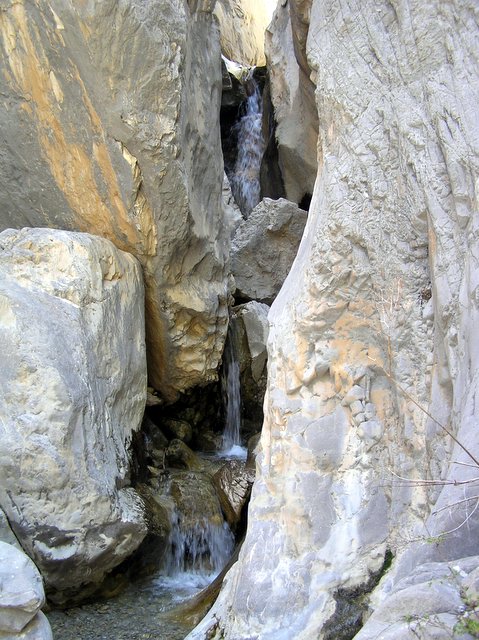
Below see some picthres we took of a hike into Fletcher Canyon. This was about a three mile round-trip hike, that started through pleasant woods, with lots of Ponderosa Pines, and eventually came to a small stream . We then followed the stream bed into what eventully became a slot canyon and ended up with three small, but very beautiful waterfalls.

Then we travelled home, had a visit from family, so we had a picnic supper, followed by Grandpa and Great Grandchild Christie making somoas.

Hiking in Fletcher Canyon


 Posted by Picasa

Monday, May 15, 2006

Red Rock Park, Las Vegas

Saturday night our grandson, Chris and his wife and children came out to our RV and had dinner. Chris and his two boys stayed at the park and tented overnight. It was a bright night with a nearly full moon, so it was a wonderful night to camp out on the desert.

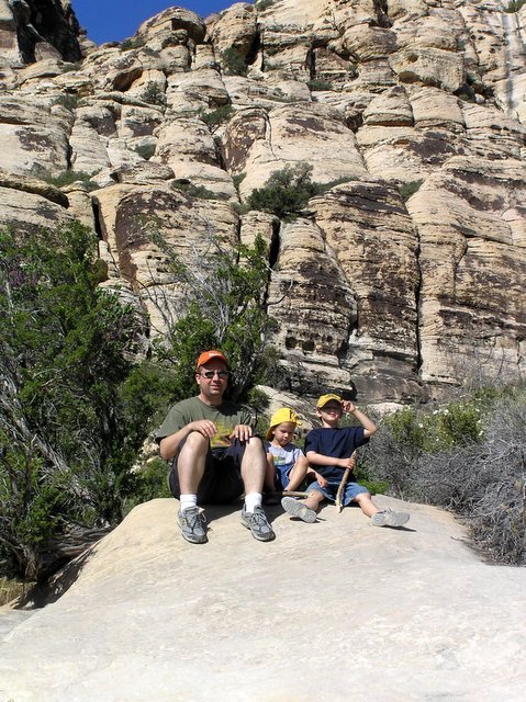
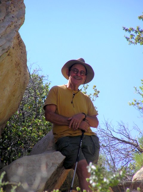
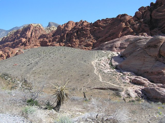
The nest morning Madie and I , Chris and the two boys took a hike out in the desert. In the picture below see Chris, Max and Oscar resting on a rock, against a background of cliffs. In the other picture I am taking a little rest, also . As you can guess, it as pretty hot, so we had to wear hats and drink lots of warer.

Those little kids did real well walking. We went about a mile and a half, perhaps two miles. The trip was just about the right length, as the boys were just about ready to quit when we were done!
Posted by Picasa

Friday, May 12, 2006

A Wild Time in Las Vegas

We have been in Las Vegas about a week and a half, visiting our daughter, Diana and her family, my grandson, Chris and his family and my granddaughter, Dale and her family. So we have had a good time, renewing our bonds, and of course getting together with all the great grandchildren. There are five great grandchildren in all.

We are parked up at a BLM campground West of Las Vegas. It is a beautiful place with lots of good hiking and beautiful cliffs and mountains. So far the weather has been pleasant – up in the high 80’s to low 90’s in the day, down in the 60’s as soon as it gets dark. Next week, hotter weather is predicted, and we may move to higher altitude.

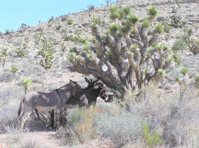
As you can see in the pictures below, there is a wild crowd here in Las Vegas. Wild indeed, we have seen a coyote hunting in our camping area, and there are lots of long- legged jackrabbits hopping about. We were riding around the other day and saw several wild burros. They are protected here. There is a picture of them below under the shade of a Joshua tree – so you also can get an idea of what a Joshua tree is.

Of course many people come to Los Vegas to gamble. I have decided that I don’t like to gamble at all, so that is not much of a temptation for me. It is surprising how pervasive gambling is here, with slot machines widely distributed in area far outside the strip. In the grocery stores and in gas stations there is usually a small area set aside for slot machines.
I wonder how ordinary people could afford to feed that thing for an hour or so every day. Anyway, it seems to be a normal thing here.

We have just done a little hiking. We went on a 3-mile trip the other day. It gets too hot after 11:00 to be very comfortable walking.

Wildlife in Las Vegas.NV


Posted by Picasa

Sunday, May 07, 2006

Deserts

Today we are in Los Vegas, NV, visiting our daughter and her family and our grandson and his family. We are camping in Red Rock Canyon, which is a park, operated by the BLM with a small campground. So we are again out in the desert, pretty much surrounded by mountains. We are dry docking, but with all the sunshine here, our solar panels are keeping us in pretty good shape.

From here, we will head for Boulder, CO around Memorial Day. We have not decides whether we will participate in the 8 kilometer race/stroll. I am having some issue with my hips, which may make the walk a little risky for future summer hiking.

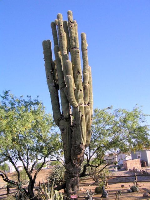
I am reflecting that in a little under 90 days we will have encountered all four of the great American deserts: the Chihuahuan, Sonoran, Mojave, and the Great Basin Desert. It is somewhat confusing what distinguishes one desert from another, and I gather that the demarcation between them is not sharp. I believe the Sonoran Desert is is characterized by the giant Saguaro cactus. There is a picture below of one of these, said to be one of the largest in Arizona and New Mexico. It is in the Escapees RV Park near Congress, Arizona. Joshua trees grow only in the Mojave Desert. However that is confusing. On the road to Los Vegas from Phoenix, there is one spot where both Joshua Trees and Saguaros grow! In any event deserts can be very beautiful. When the sun is low in the sky in early morning or evening, the colors of the stones in the mountains come out, with many different shades. There is a surprising amount of life in the desert. Here where we are camping we see lots of jackrabbits and an occasional coyote.

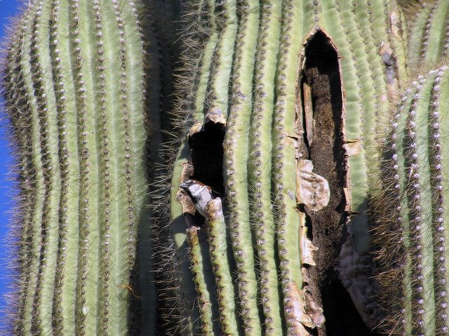
A cactus Wren, home in Methuselah

 Posted by Picasa

Methuselah, said to be about 400 years old

 Posted by Picasa